

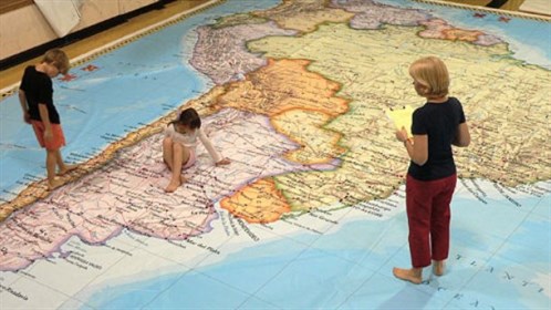
National Geographic Giant Traveling Map of South America
February 13-15, 2014
Imagine scaling the high peaks of the Andes, searching for the ancient city of Machu Picchu, then following the Amazon River from its alpine headwaters thousands of miles through the Brazilian rain forest all the way to the Atlantic Ocean. Or, traverse the fertile Pampas on your way to historic Buenos Aires, and bravely set sail southward around Cape Horn and out to the Pacific Ocean to visit the Galapagos Islands!
This and more can happen all in a few hours on the new National Geographic Giant Traveling Map of South America. The map measures approximately 26' x 35' and includes fun and content-rich
activities, props, and other educational resources.
Share this

