


Fishing Report
Lake Mike Conner - 4/23/2024 10:27:51 AM| Species | Detail | |
| Bass | Fishing has been good. Focus fishing effort with soft plastics in a green/black/red coloration. Worms and flukes have been working well. Top water lures have are also doing good in the mornings. | |
| Crappie | Fishing has been slow. Focus fishing effort with soft plastics in a green/black/red coloration. Minnows and spinner baits also work well. A spray-on fish attractant is also helpful because a large part of the crappie’s predatory instinct is scent driven. | |
| Bream | Fishing has been good. Focus fishing effort near vegetation with small beetle spin or fish using redworms, nightcrawlers, and crickets. They have just started bedding. | |
| Catfish | Fishing has been fair. Focus fishing effort on the bottom with red worms, liver, and other stink baits. | |
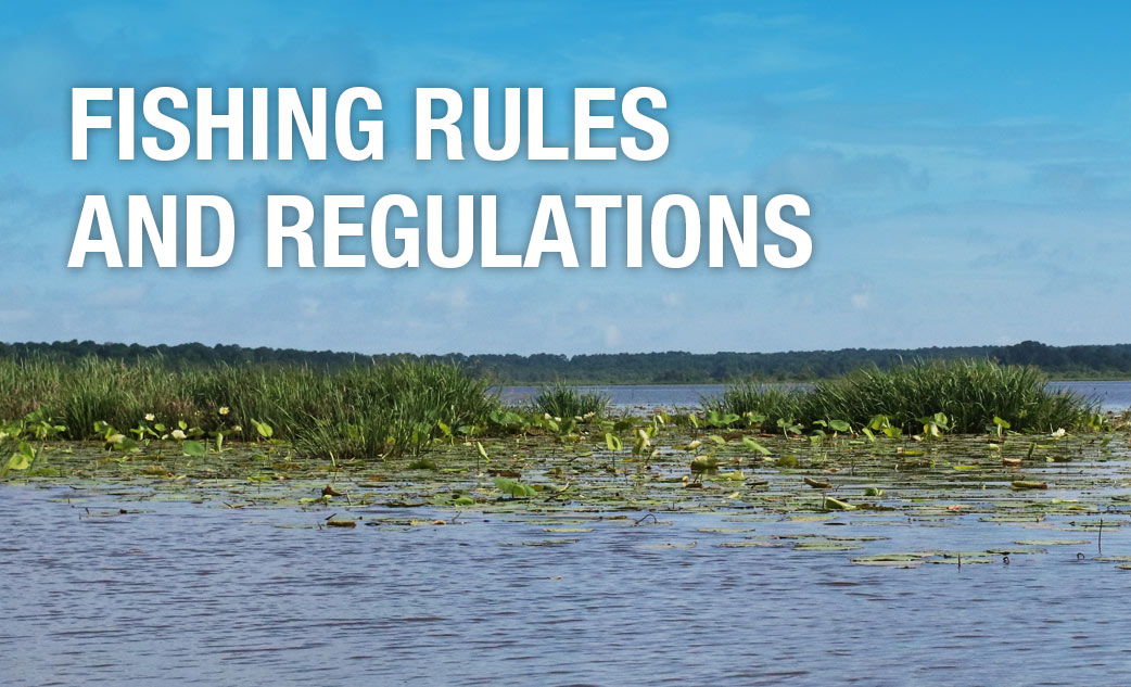
Special Fishing RegulationsSpecies |
||
| Species | Type | Length To Release |
| Catfish | No length limit | |
Creel Limits (per person, per day) |
||
| Type | Amount | Additional Information |
| Catfish | 10 | Creel limit for all State Fishing and State Park Lakes |
- Only rod and reel or pole fishing is allowed on State Fishing Lakes except that carp, gar, buffalo, and bowfin may be taken by use of bow and arrow at night only after purchasing a valid permit for fishing and/or boating. No other gear is allowed at these lakes.
- Fishing is not allowed from courtesy piers adjacent to boat ramps. Night fishing is allowed from the bank or boats which are in compliance with state and coast guard regulations.
Additional Information
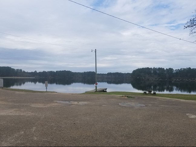
For information about Lake Mike Conner, please call (601) 765-4024.
Mississippi Department of Wildlife, Fisheries, and Parks Fisheries Biologists use various sampling methods to assess the fish populations in the State’s waters. Sampling results for selected water bodies are summarized in Reel Facts Sheets.
New fish attractors were added at this lake to improve fish habitat. The brushpiles were added in various depths, but most are located in 3 - 6 ft. of water. Five brushpiles were sunk on the levee in 15 - 20 ft. Below are GPS coordinates for some of the sites. Be sure your GPS is reading decimal degrees (shown below) and not degrees-minutes-seconds when locating these attractors.
GPS coordinates: 31.57523N -89.64664W
31.57522N -89.64683W
31.57488N -89.64728W
31.57464N -89.64788W
31.57520N -89.65256W
31.57496N -89.65248W
31.57520N -89.65196W
31.57526N -89.64890W
31.57520N -89.64887W
31.57722N -89.65160W
31.57689N -89.65116W
31.57497N -89.65134W
31.57489N -89.65144W
31.57251N -89.65022W
31.57206N -89.64914W